
Construction hoarding (fence fabric) to educate people about the benefits of mass timber construction in BC
Three 40-foot panels make up this fence fabric design.
Read moreLogo and labels for Averill Creek Vineyards
Talk about dream job, working with a vineyard!
Logo for IWAV

Islanders Working Against Violence is a non-profit society providing services throughout the Southern Gulf Islands to women and their children affected by poverty, violence and abuse.
Services Report for the Public Guardian and Trustee

Vignette illustrations by Scott Gillies. See full report here.
Rebuilding B.C.’s Coast Forest Sector booklet

For the Ministry of Forests, Lands, Natural Resource Operations and Rural Development. See full booklet here.
Logo for Clam Bay Farm on Pender Island. Collaboration with Illustrator, Kevin House.

Fun logo project in collaboration with Kevin House (kevincreative.com).

I also set up their website: clambayfarm.ca.
Re-brand for a Cheese company
Haltwhistle Cheese Co. in Duncan were looking for a complete rebrand...
New logo and business card design
New market banners and signage
New labels
Logo for a local Salt Spring Island farm
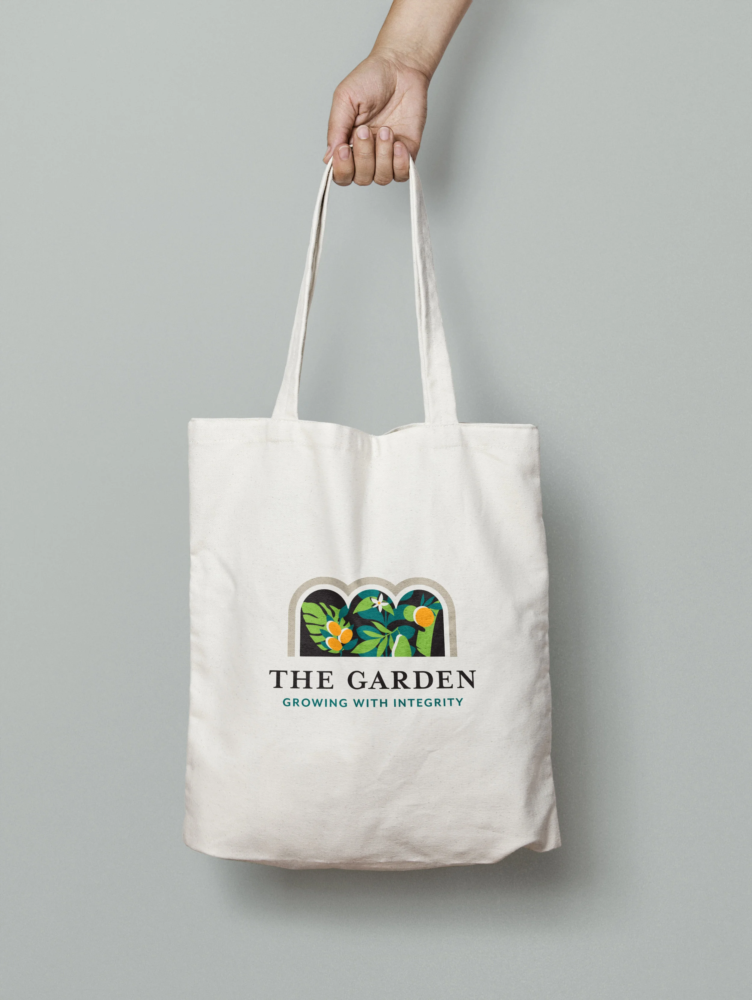
The Garden uses creative and resource-efficient methods for producing greens and specialty crops, such as avocados and citrus!
Logo concepts
Royal BC Museum program guide
See full guide here.
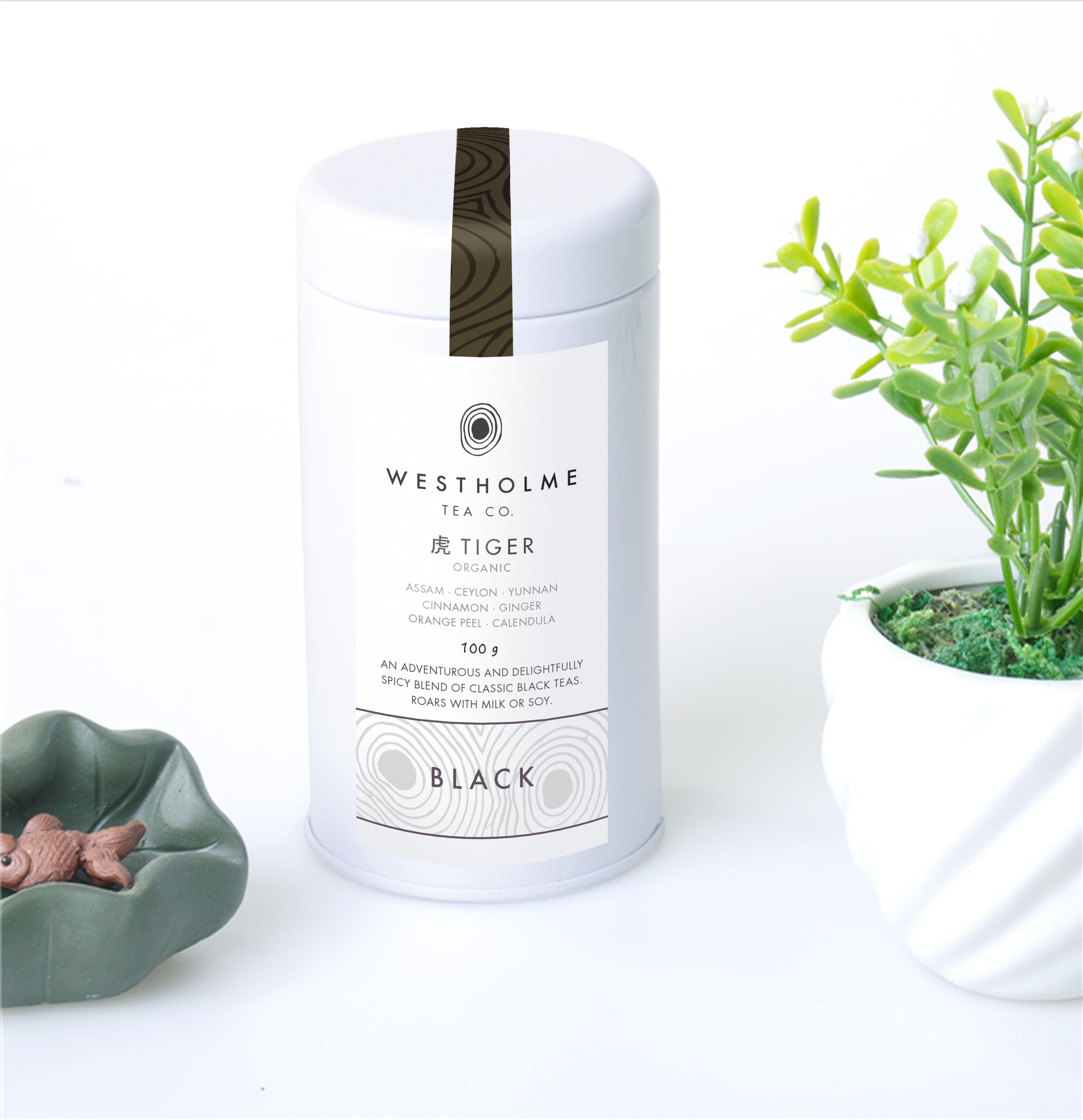
Canada's first tea harvest

Tea label design
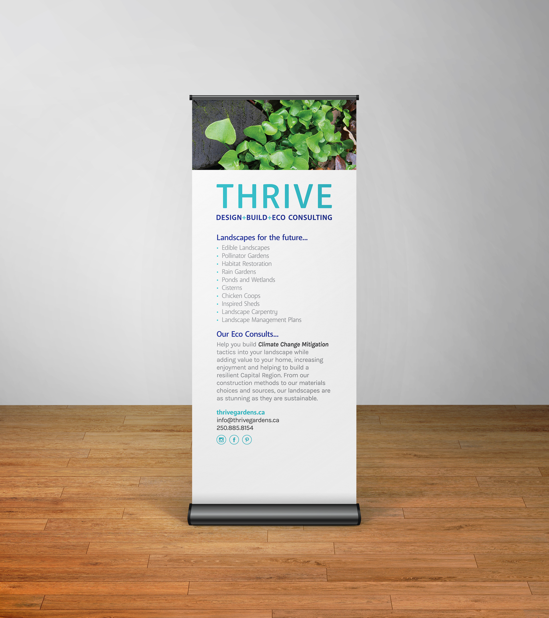
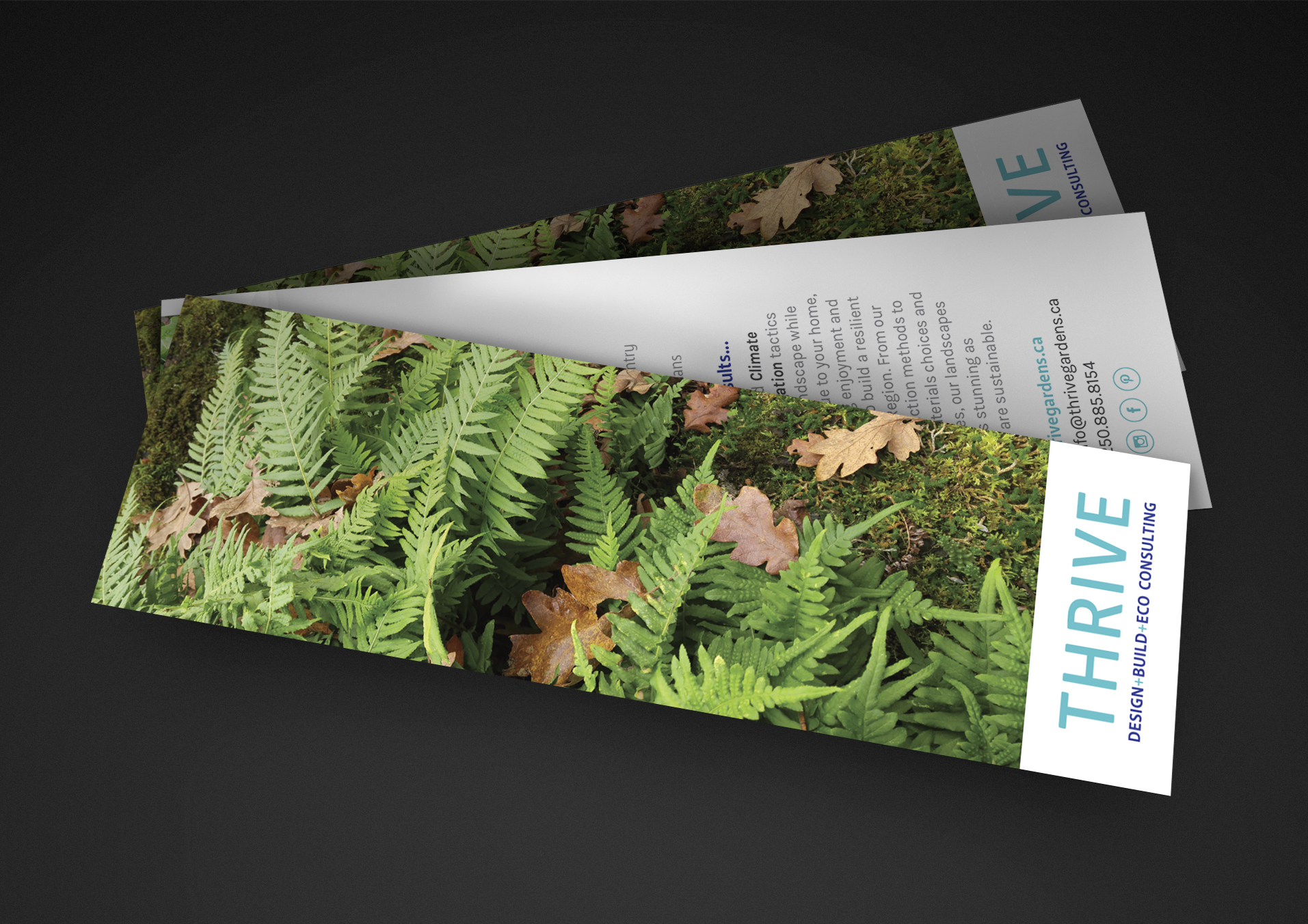
Bookmark and banner for Thrive who design + build + eco consult for outside spaces
UI design for an innovative interactive broadcasting tool

Plus their website concept design. f2f.live

Museum program guide
See full guide here.
Web design concept for Foundry Spatial


Foundry Spatial is an award-winning, innovative environmental science and consulting firm. foundryspatial.com
Visualizing Canada’s Forest Change
I had the opportunity to work with Foundry Spatial to refine the user interaction and initial design of an interactive webpage that allows the public to easily access and visualize the last three decades of forest change in Canada. Satellite Forest Monitoring in Canada is a joint project of the University of British Columbia and the Canadian Forest Service. For me, it was fun with toggle buttons and sliders!
Original mockup. Visit actual map here forests.foundryspatial.com
Learn more here: landsat.gsfc.nasa.gov/visualizing-canadas-forest-change-1985-2011
Event map design
Wayfinding for a Valentine's event at the museum.
Runner up for Nanaimo street banner contest
‘Strong and Free’ banners designed to help Nanaimo, its people and vistors celebrate Canada’s Sesqui-Centennial.
Second place. We won't see them on the streets of Nanaimo, but it was worth a try!